AI Superior
Artificial Intelligence custom software development
2023 Winner
Artificial Intelligence
Overview
$50-$99/hr
10 - 15 Employees
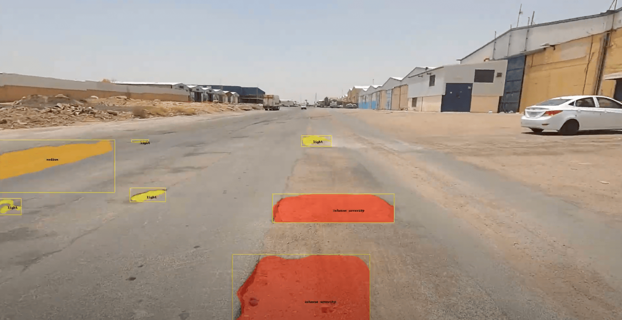
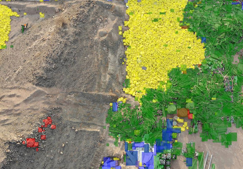
AI Superior provides end-to-end products and solutions based on big data, machine learning, and artificial intelligence. Our experienced team guided by PhD data scientists will build a solution that fulfils your requirements and allows flexibility for future evolution.
Focus Area
Service Focus
- Software Developer Company
- BI & Big Data
Industries Focus
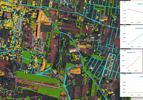
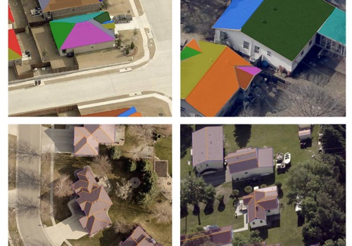
- GPS & Navigation & GIS
- Business services
- Financial services
- Health Care & Medical
- Information technology
- Media
- Other industries
Videos
No videos available.
Portfolios

Digital Assets
No resources available.
Reviews
There are currently no reviews for this product.